Fish Dynamics
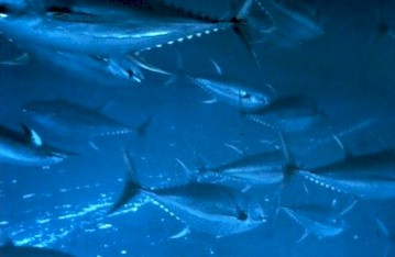 Fishscape uses a complex system of fish dynamics to present a population distribution of three ecologically and commercially significant Eastern Pacific tuna species: yellowfin, bigeye and skipjack. Our models draw from a range of previous scientific work as well as a significant tuna catch database provided by the Inter-American Tropical Tuna Commission.
Fishscape generates and moves agglomerations of tuna schools called metapopulations. These metapopulations operate based on tuna habitat preferences generated from statistical analyses of satellite imagery and historical catch records. Fish physiology data and underlying oceanographic information are incorporated into functions that control fish dynamics including:
- School size
- Survivorship
- Nursery grounds
- Recruitment
- Mortality
- Movement